10/30/2025
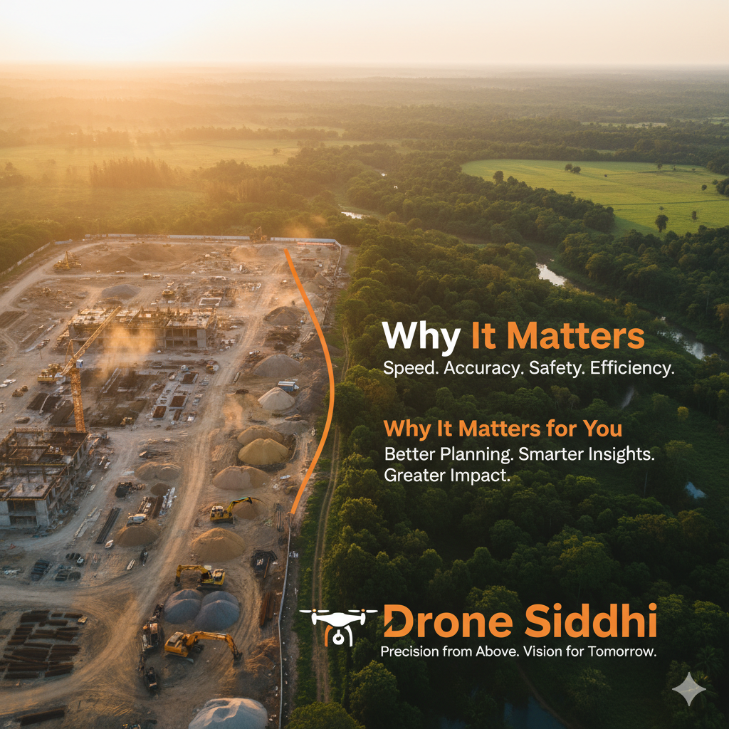
In every industry that works with land, infrastructure, agriculture or the environment, one thing is clear: better data means better decisions. Traditional surveying methods — boots on the ground, total stations, laborious manual measurements — have served well for decades. But the introduction of aerial platforms brings a fundamental shift. Drone surveying isn’t just faster — it’s smarter, safer, more versatile and far more cost-effective.